


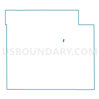
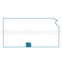
Medicine Lodge Precinct 2, Barber County, Kansas
About
Outline

Summary
| Unique Area Identifier | 583955 |
| Name | Medicine Lodge Precinct 2 |
| County | Barber County |
| State | Kansas |
| Area (square miles) | 0.24 |
| Land Area (square miles) | 0.24 |
| Water Area (square miles) | 0.00 |
| % of Land Area | 100.00 |
| % of Water Area | 0.00 |
| Latitude of the Internal Point | 37.28978470 |
| Longtitude of the Internal Point | -98.57663280 |
Maps

Graphs
Select a template below for downloading or customizing gragh for Medicine Lodge Precinct 2, Barber County, Kansas


Neighbors
Neighoring Voting District (by Name) Neighboring Voting District on the Map
- Medicine Lodge Precinct 1, Barber County, KS
- Medicine Lodge Precinct 3, Barber County, KS
- Medicine Lodge Precinct 4, Barber County, KS